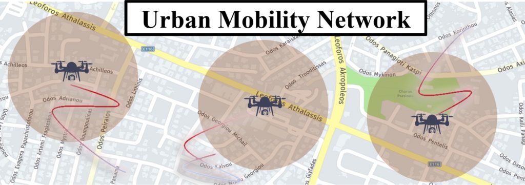
Inefficient management of urban mobility leads to congestion with several socioeconomic and environmental adverse effects. Despite numerous research efforts and deployed technological solutions to address congestion, the problem persists. One of the main reasons is attributed to the sparsity and low quality of traffic data. Unmanned Aerial Vehicles (UAVs) are an emerging, non-invasive, vision-based traffic sensing technology that offers economic viability and fast deployment. UAVs can swiftly and controllably move over disperse locations to capture road traffic data and simultaneously measure multiple traffic parameters. Despite these advantages, their applicability has so far been limited to occasional surveillance of road networks for live video monitoring or the extraction of historical traffic data.

URANUS proposes real-time, dynamic, and intelligent sensing of vehicular and pedestrian traffic via Unmanned Aerial Vehicles (UAVs), and the use of the collected information for urban mobility management. In this context, a holistic framework for real-time urban mobility monitoring and control, as well as UAV operational planning, will be developed, exploiting the unique URANUS sensing characteristics. The envisioned paradigm features: (a) intelligent spatiotemporal sampling from UAVs, (b) the generation of complete spatiotemporal measurement sets with quantified uncertainty, (c) the development of suitable methodologies to ‘close the loop’, by jointly controlling the urban mobility (UM) and UAV networks for enhanced UM performance, and (d) the strategic selection of measured parameters.
URANUS aims to transform our understanding of joint optimization of sensing, monitoring, and control not only in intelligent transportation systems but also in other UAV-centric fields. The solutions and tools to be developed can lead to step-change improvements in urban mobility with prominent environmental and socioeconomic benefits.
